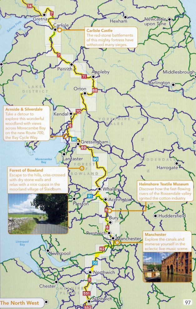
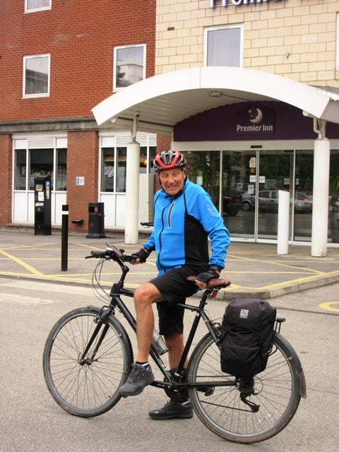
Day 11 16th June 2017
Manchester to Slaidburn - 49 miles
Leaving Manchester was not as difficult as my over active imagination had anticipated. The book said to find N6 at The Science Museum, follow Liverpool Road to Water Street and turn right. Water Street was closed for work on a bridge so straight away I was plunged into confusion. I asked in a bike shop for directions and the chap was scathing in his criticism of the route signing but got me onto it and I managed to follow it without much difficulty with plenty of signs so that criticism didn’t seem right.
The only difference between a Sustrans route and any of the hundreds of other streets in Manchester or anywhere else is the presence of signs (or not) and so missing them or the signs being missing means that you are lost. Things change on the ground as well with one sign pointing into a building site but it must be impossible to keep up to date with these changes. Leaving Manchester only means moving on to the next town be it Bury, Accrington, Ramsbottom, Clayton Le Moor – the great former industrial, urban sprawl goes on for mile after mile of housing estate, trading estate, canal bank, and the trail winds its way with little annotations like “SA then L under railway bridge” so my book is becoming very dog eared as it gets dragged out every 2 minutes. Just after lunch when I had managed less than 20 miles, I spotted an annotation that said “L on to A520” On examination the A520 went straight to my next meeting with Helen in Whalley, however the trail wound its way with lots of notes, in a big loop so I girded my loins and pedalled like mad amongst the traffic and made the first significant progress of the day.
I realise that I am not making this sound like a lot of fun but negotiating this part of the route was always going to be the least enjoyable and I have a feeling of satisfaction at just having completed it. After Whalley, the route is back out into open country and into an area called the Forest of Bowland and although it was 3.30 and I could have done with stopping for the day, I arranged to meet Helen at a village called Slaidburn to get about 20 miles further on. The route guide looked as if there was one road leading to Slaidburn but I managed an unnecessary detour through Clitheroe and then another missed turn took me up over an incredibly steep hill over a moor, guided by instructions from a bearded country ranger that I met who had the biggest scale OS map that I have ever seen.
I did eventually reach Slaidburn about 5.30pm having severely reduced my brake blocks on the way down. Helen was waiting patiently to transport us to our next hotel which was some distance away. This is the last time that I will have the luxury of that service because she is heading home tomorrow and I’ll be carrying my own pyjamas from now on. Slaidburn is a one street village in the middle of lots of nothing in stark contrast to the parts of the country that I had spent the last few days travelling through. It was 7 pm when we got to The Kings Arms pub and hotel in Burton where a shower and a beer made the world ok again. Another long day but only 49 miles covered and about 3,000 feet of ascent – most of that in the last hour. Today’s mileage takes me to just over half way to John O’Groats.
Leaving Manchester
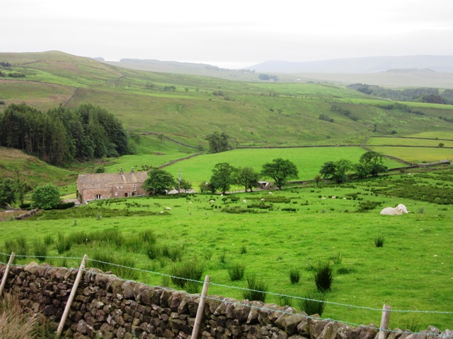
Terrain for Tomorrow
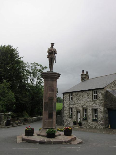
Slaidburn
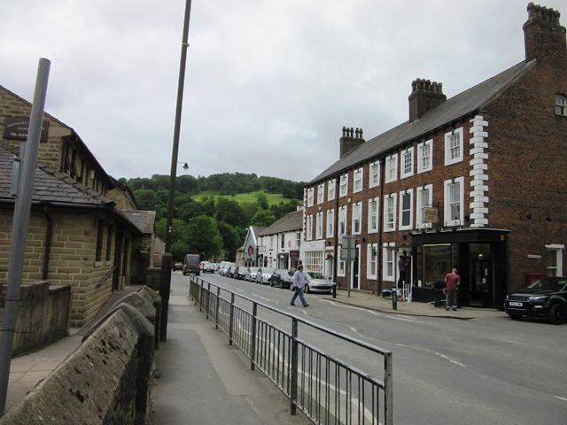
Whalley