Stage 1 - Tuesday, 6th June 2017
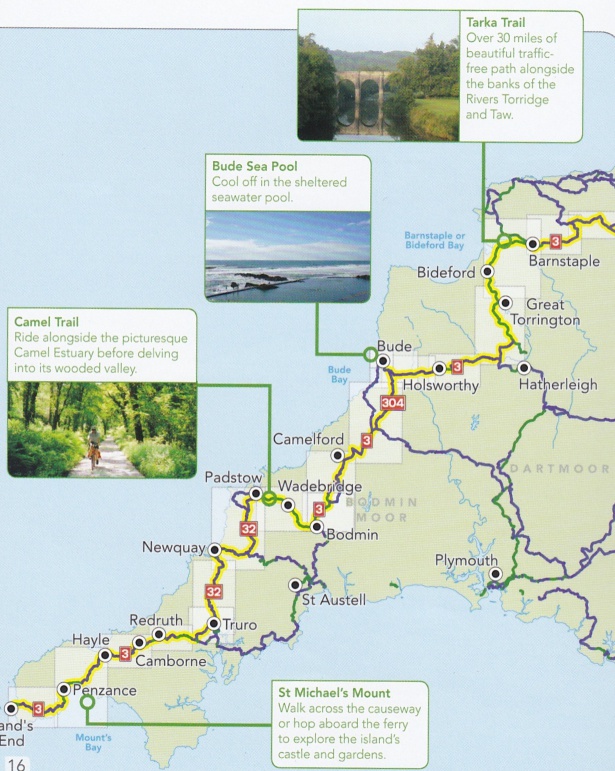
Lands End to Truro, 48 miles
Day One dawned in Bath, where we left Tricia, Marcus, Issie, Max and Busby after spending a really nice evening with them. The drive to Bath had been trial by British motorway as usual but with heavy rain all day thrown in for good measure.
The drive from Bath to Land’s End is surprisingly long and Team Paton didn’t get to the start point until about 11.30am. I have read the Sustrans guide book description of the first leg a number of times over the months of anticipation but my attempts to visualise what it would actually look like were a bit off the mark. This applied particularly to Land’s End itself where I didn’t expect two lines of cars queuing to pay 6 quid to enter a car park bursting with cars and buses and tourists from all over the world, buying souvenirs from a shopping complex.
The spot itself is worthy of the name Land’s End with the Atlantic Ocean breaking up in white horses as it crashes against the rocks.
The route from Land’s End is National Cycle Route 3 which is called The Cornish Way as it leaves Land’s End on a little gravel path winding along the headland. The route and the cycle ride exceeded expectations with proper Cornish country lanes with very little traffic, leading through quaint fishing villages like Mousehill. Finding the right country lane was often a challenge and navigating through the old tin mining towns of Camborne and Redruth was slow progress but interesting. Trying to spot the little blue signs with a red number 3 was the game for the day and they cropped up at the most unexpected spots, sending you off at right angles down another country lane and occasionally, when you expected and needed one, it was missing. This caused considerable consternation stuck deep in the Cornish countryside and resulted in the steepest climb of the day to get me out of a dead end leading to a little harbour.
The route wiggles around a lot as you can see from the map and the weather on the first day was sunny but with winds getting on for gale force. The wind was mostly assisting, fortunately, except when it tried to knock the bike from underneath me, as it did from time to time.
It was 7pm before I completed the 48 miles to Truro but that included lots of photo stops and a nice seafood lunch in Penzance, eaten in a harbour side café called the Boatshed. Photo opportunities were round every corner with St Michael’s Mount at Penzance being the most spectacular. St Michael's Mount is a small tidal island linked to the town of Marazion by a man-made causeway.
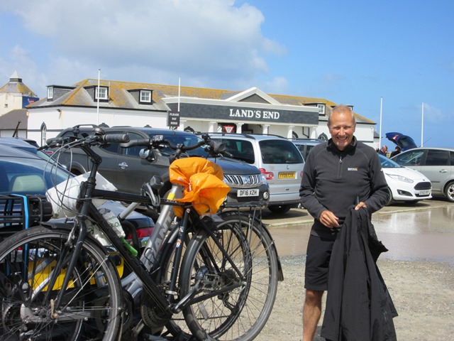
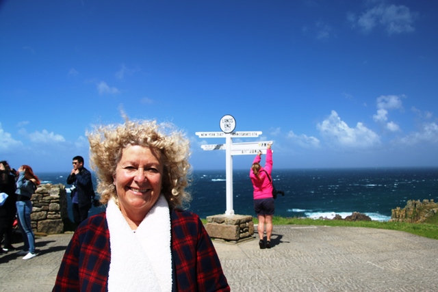
Raring to go
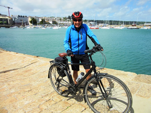
Penzance Harbour
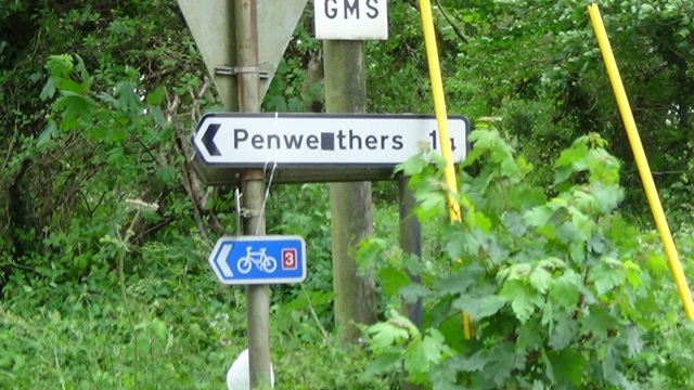
The elusive but reassuring sign posts
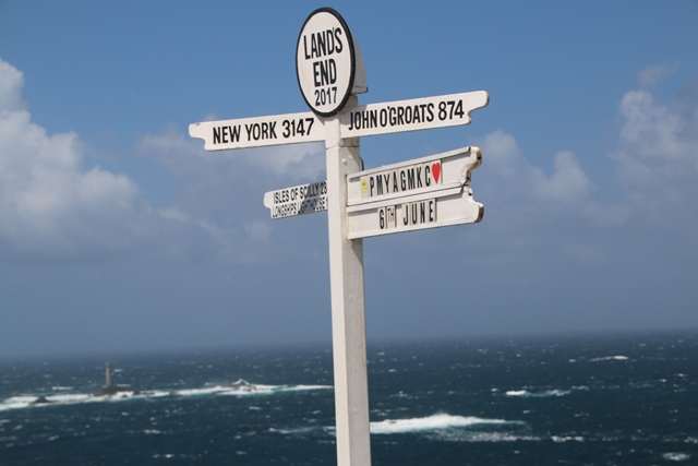
The famous sign post - John O'Groats is more like 1,200 miles by my route
Support Team
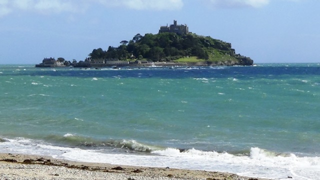
St Michael's Mount
Video Images of Day 1